Creates a SpatRaster (terra R-package) object from a variable from wrf file (or another compatible NetCDF)
Usage
wrf_rast(
  file = file.choose(),
  name = NA,
  map,
  level = 1,
  times,
  latlon = FALSE,
  method = "bilinear",
  as_polygons = FALSE,
  flip_h = FALSE,
  flip_v = FALSE,
  verbose = FALSE,
  ...
)
Arguments
- file
wrf file
- name
variable name
- map
(optional) file with lat-lon variables and grid information
- level
only for 4d data, numeric, default is 1 for surface (include all times)
- times
only for 4d data, numeric, set to select time instead of levels (include all levels)
- latlon
logical (default is FALSE), set TRUE project the output to "+proj=longlat +datum=WGS84 +no_defs"
- method
method passed to terra::projection, default is bilinear
- as_polygons
logical, true to return a SpatVector instead of SpatRaster
- flip_h
horizontal flip (by rows)
- flip_v
vertical flip (by cols)
- verbose
display additional information
- ...
extra arguments passed to ncdf4::ncvar_get
Examples
{
wrf <- paste(system.file("extdata", package = "eva3dm"),
"/wrfinput_d01", sep="")
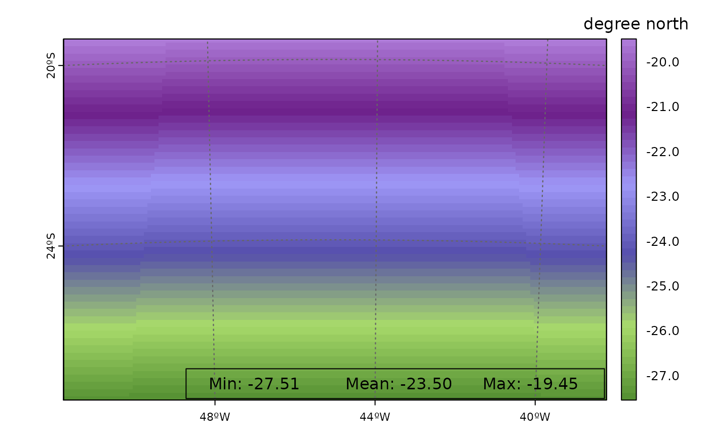
r <- wrf_rast(file=wrf, name='XLAT')
plot_rast(r)
}